This was the day for a cruise in Souda bay, one of the biggest natural ports
of the world.
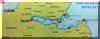
The details of the trip, you find on the map above. Just click it.
Souda bay is some 20 minutes drive from Chania where we stayed.
A lovely day at sea with fantastic weather and water.
 |
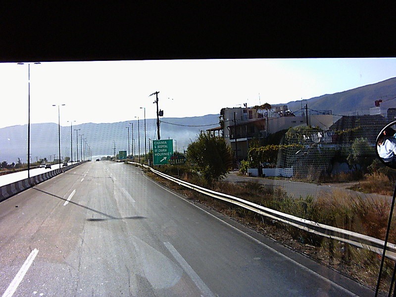
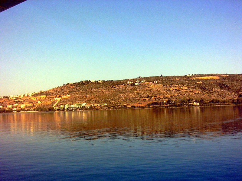
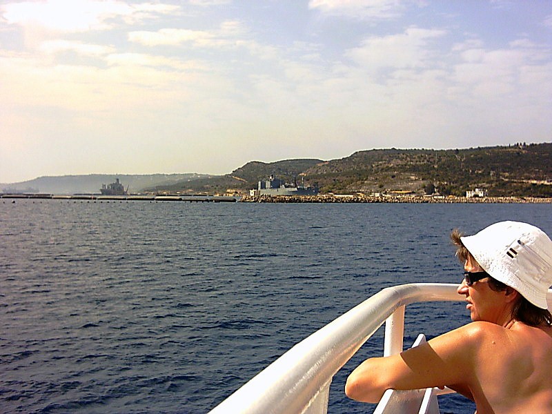
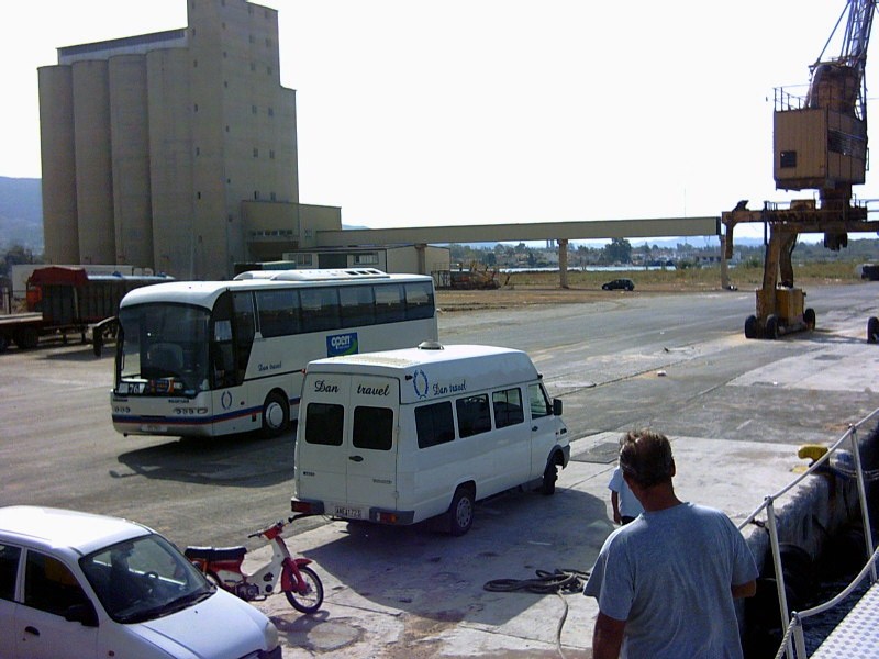
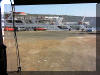
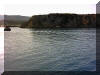
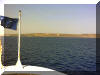
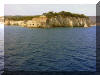
To the left, on the route to Souda harbour on the highway.
To the right, the entrance to the harbour and our ship. |
 |
 |
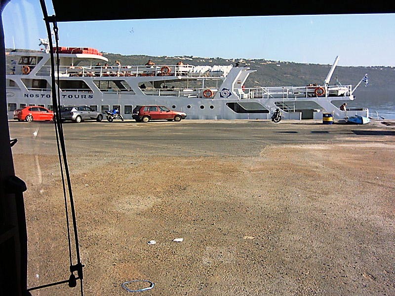
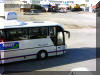
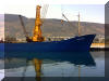
This is not the ship we where supposed to be on. A
tinkle big would you say? View from the boat of our trusty
busses. Very high standards on the busses, both chartered and local regular
busses. Worth a ride or two. |
 |
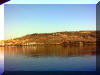 |
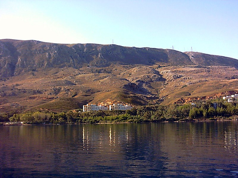
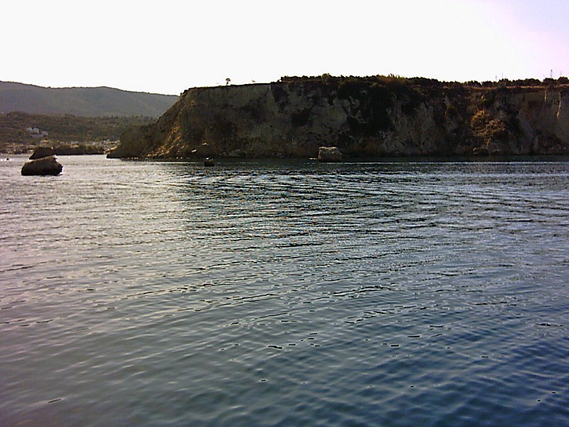
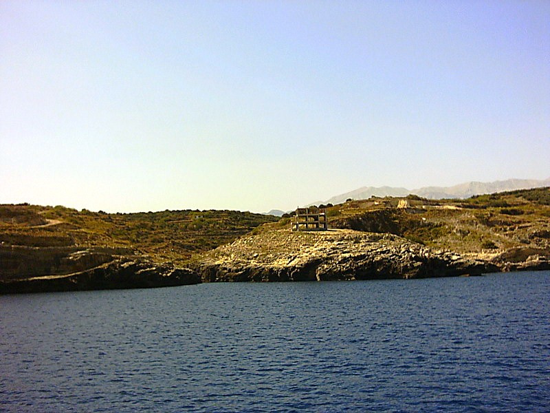
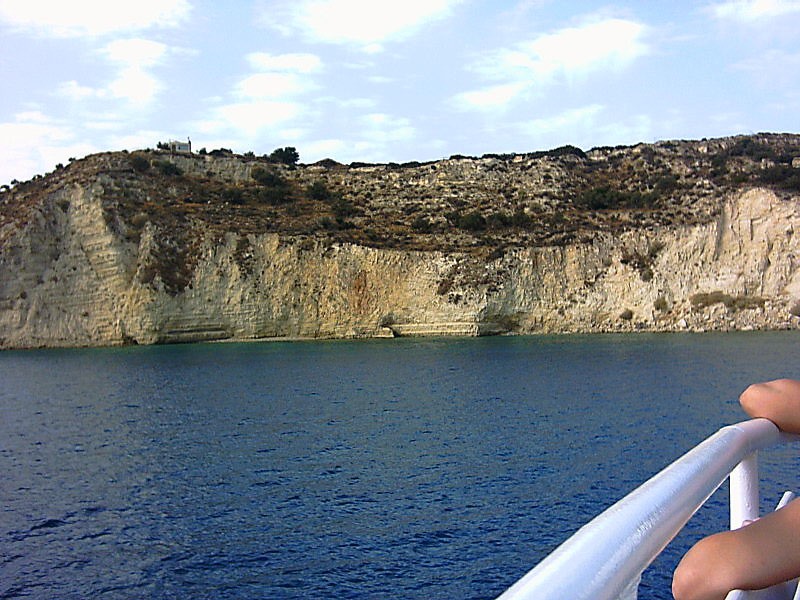
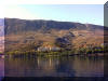
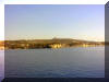
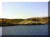
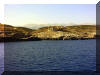
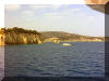
The right shore of the bay, just outside Kalami
(see
map). New buildings coming up all over the place.
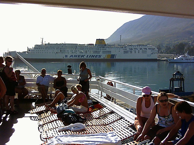
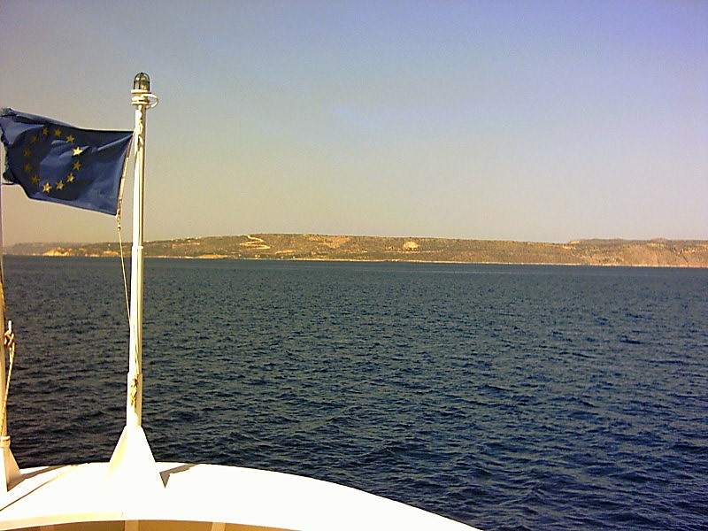
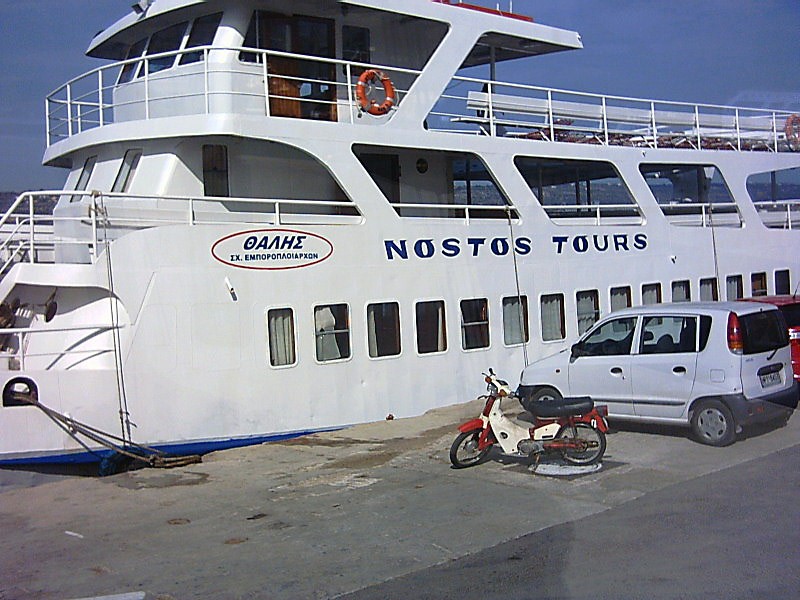
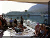
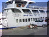
On our ship, Nostos. At first a little bit crowed, but later on, there was
space for everyone. |
 |
 |
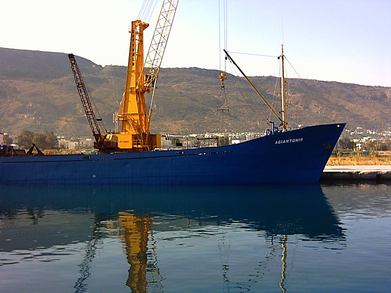
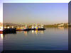
Big ship in the harbour. And small ones. |
 |
 |
This is also close to Kalami (see
map), where new tourist establishments comes up all the time.
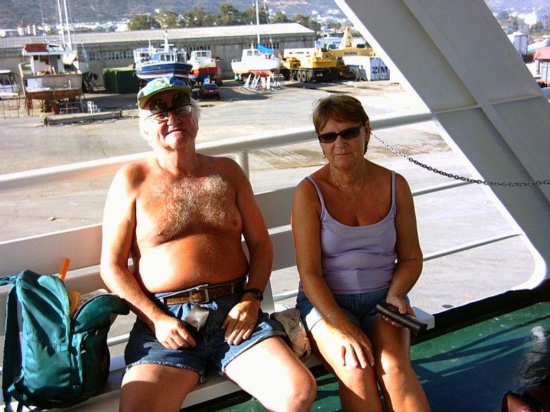
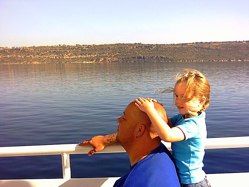
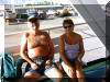
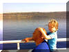
A ball headed Danish father get a little help from his lovely daughter to
get some sun block on his skull. Cute. |
 |
 |
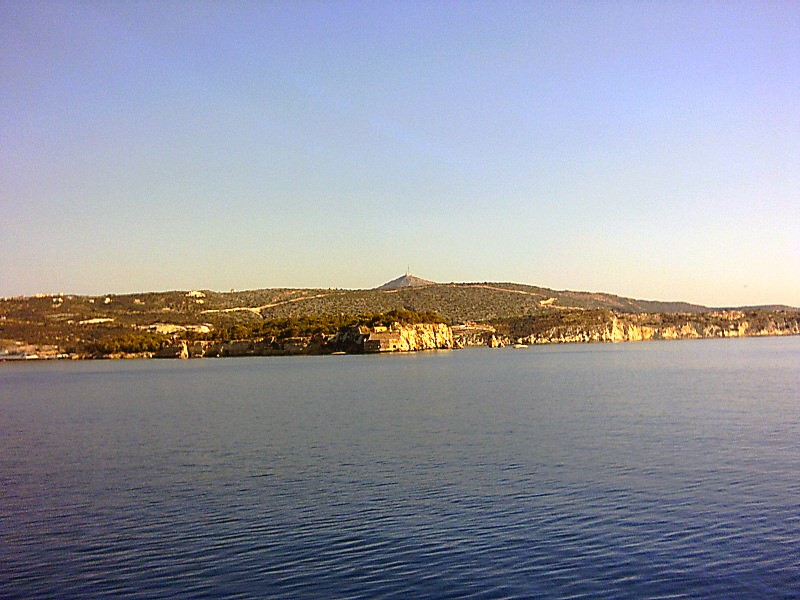
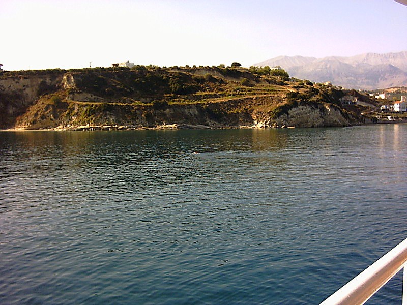
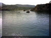
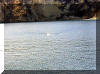
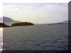
On the route to Almirida (see
map), where we had our first stop for an hour.
And very picturesque it was between an island and shore. |
 |
 |
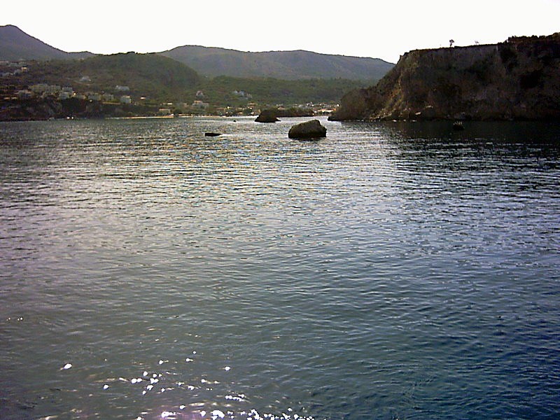
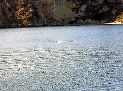
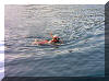
Martin T took his first swim of the to the shore some 8 min
away. And the along the shore in a Northerly direction
towards one of the rocks sticking up of the water everywhre. |
 |
 |
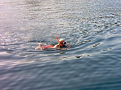
And on the way back to the boat after some 32 minutes of
pleasant crawling in warm, crystal clear water. Just
arriving to the ship to enter for a beer or two. |
 |
 |
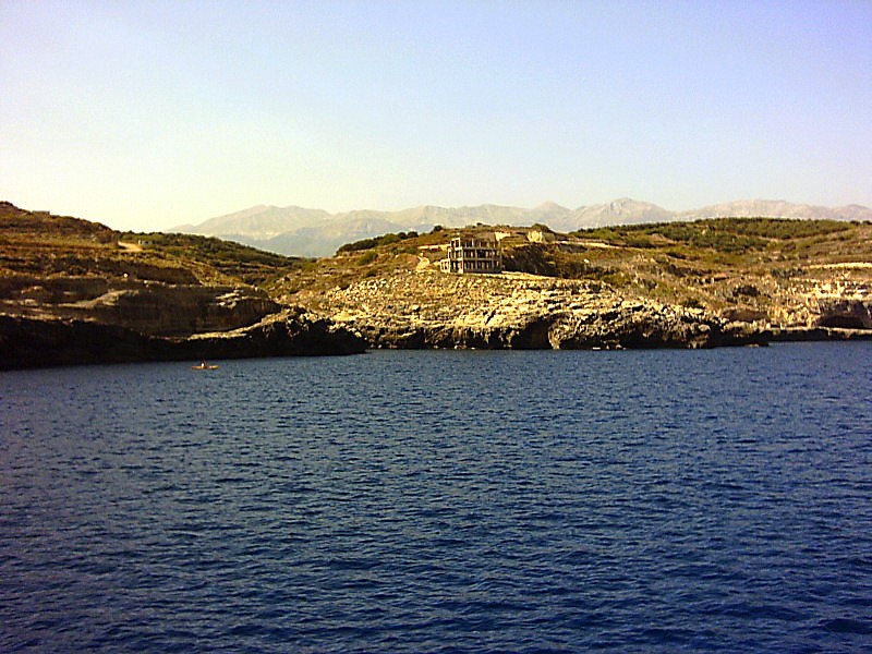
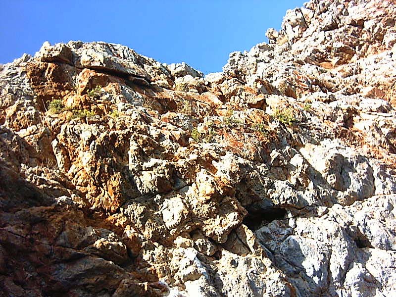
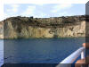
Then on our way to Cape of Drapano (see
map), and some spectacular caves in the shore sides.
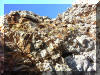
What you see on the picture to the right and left, is what we on the ship
mockingly called ruins of the 20th century. Unfinished buildings left there
to wither in the weather. |
 |
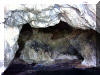 |
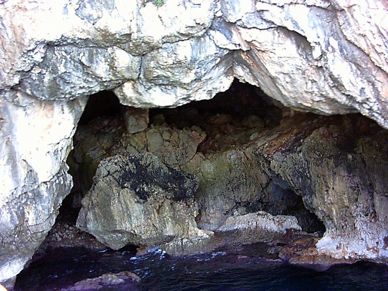
At Cape of Drapano, the ship went into the cave of pirate
Bar Barossa from the 16th century.
There was a hole in the top of the cave, giving the cave
enough natural light for normal doings. |
 |
 |
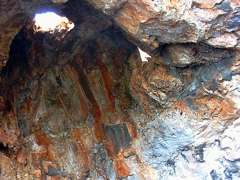
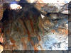
The cave wall as we backed out. The of to
the next stop, Marathi where we stopped for three hours. And another swim.
Total distance this day was close to 2700 meters in 82 minutes. Not bad. |
 |
 |
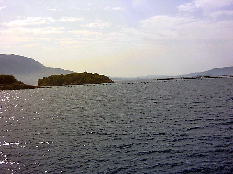
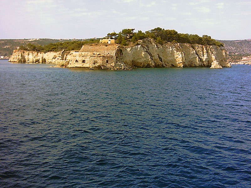
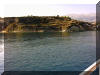
The harbour of Marathi (see
map). On the way around Island of Souda
(see
map), there are some military installations. This seems to be
torpedo net of some kind. Too big for fishing fish. |
 |
 |
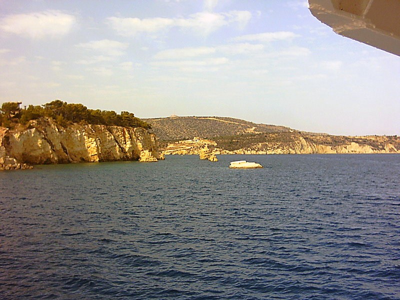
Closer to the island, you could see the sea grey skyline of
military ships. This was an old military fort from the 16th
century destroyed by the Turks when they invaded the island. |
 |
 |
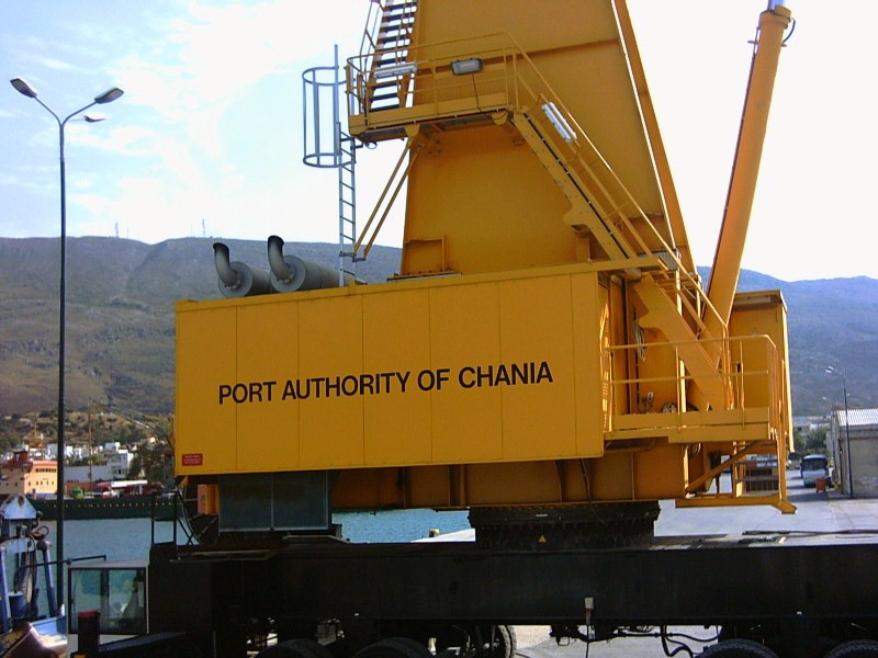
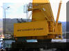
The Northerly shoreline of the bay on the way back.
And the heavy equipment of port Chania was present. |
 |
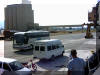 |
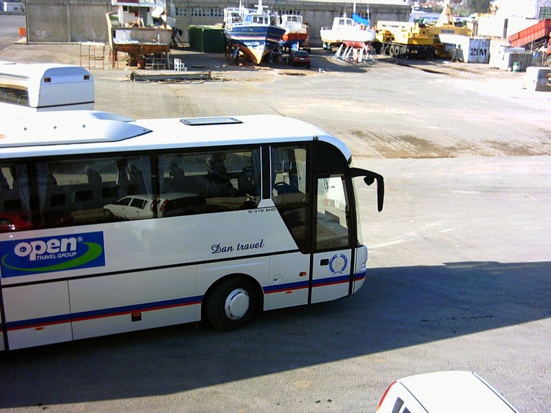
And our bus waited us on the quay. And then
it was good by to a pleasant trip on the sea and Nostos Tours. Recommended. |
 |